GIS Havre :
ACCESS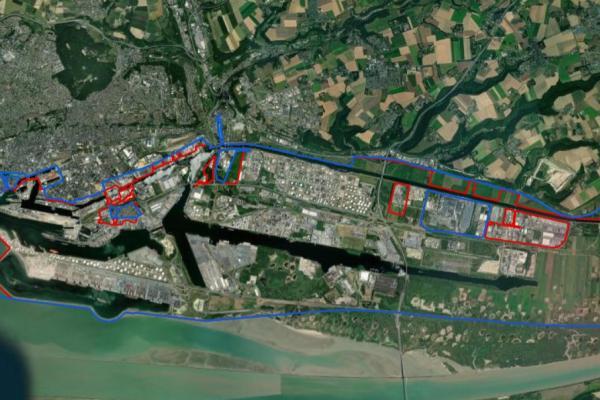
Published on - Updated
What is GIS? A Geographic Information System, or GIS, is an information system that integrates, stores, analyses and displays spatially referenced alphanumeric data along with layouts and maps. Applications linked to a GIS allow users to build interactive data requests, analyse the spatial data provided and modify or edit data.
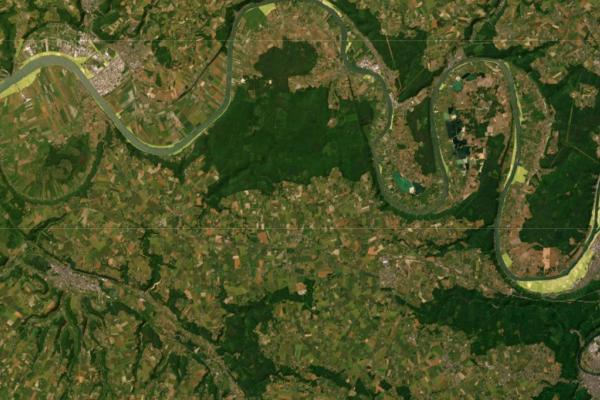
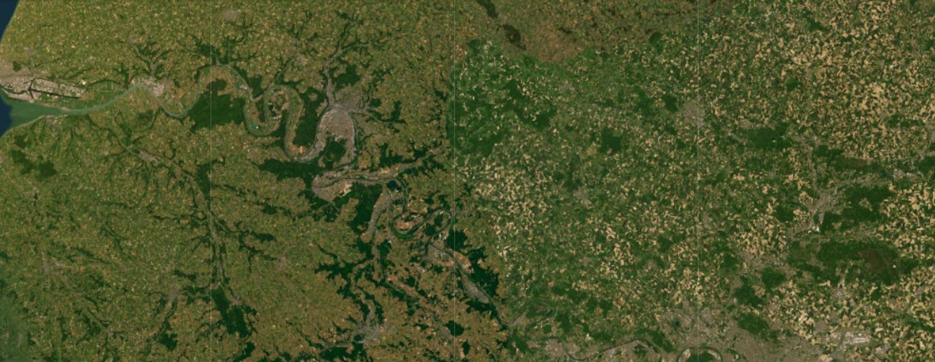
The purpose of HAROPA PORT’s Geographic Information Systems (GIS) is to organise the port complex’s referential geographic information and to make it available. This enables the port area to be described in a way that consolidates knowledge of it and allows the activities there to be analysed to assist decision-making.
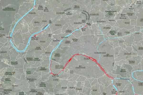
The HAROPA Territorial Departments in Le Havre, Rouen and Paris each have their own GIS. They can provide a range of free-access online data via their individual web portals (dynamic maps and views, 3D maps, a library of basemaps and other resources: data, documents, etc.).
The HAROPA PORT | Rouen GIS service has created a storymap (geographic narration) to describe the port’s environmental measures.
The website has assembled a set of interactive maps and content for an entertaining and educational in-depth tour!
What does Open Data mean? The term Open Data relates to the provision free of charge of all information produced and collected by central government departments and local government bodies in the course of their official duties. It is part of a trend to considering public information as a public good for which free availability is in the general and public interest.
It is in the spirit of transparency and open innovation that HAROPA PORT allows all interested parties to obtain and reuse its public data.
This approach is part of a holistic innovation policy implemented by France’s leading port with the aim of building the port of tomorrow together!
For that reason, the HAROPA PORT territorial departments of Le Havre and Rouen have developed their Open Data platforms. Each portal is easy to access and enables users to display and download the data made available by these two HAROPA offices.
HAROPA PORT | Le Havre also provides a GIS data catalogue to allow standardised metadata (documentation) to be researched and accessed in GIS resources opened by Le Havre Territorial Department.